MCI Airport Map
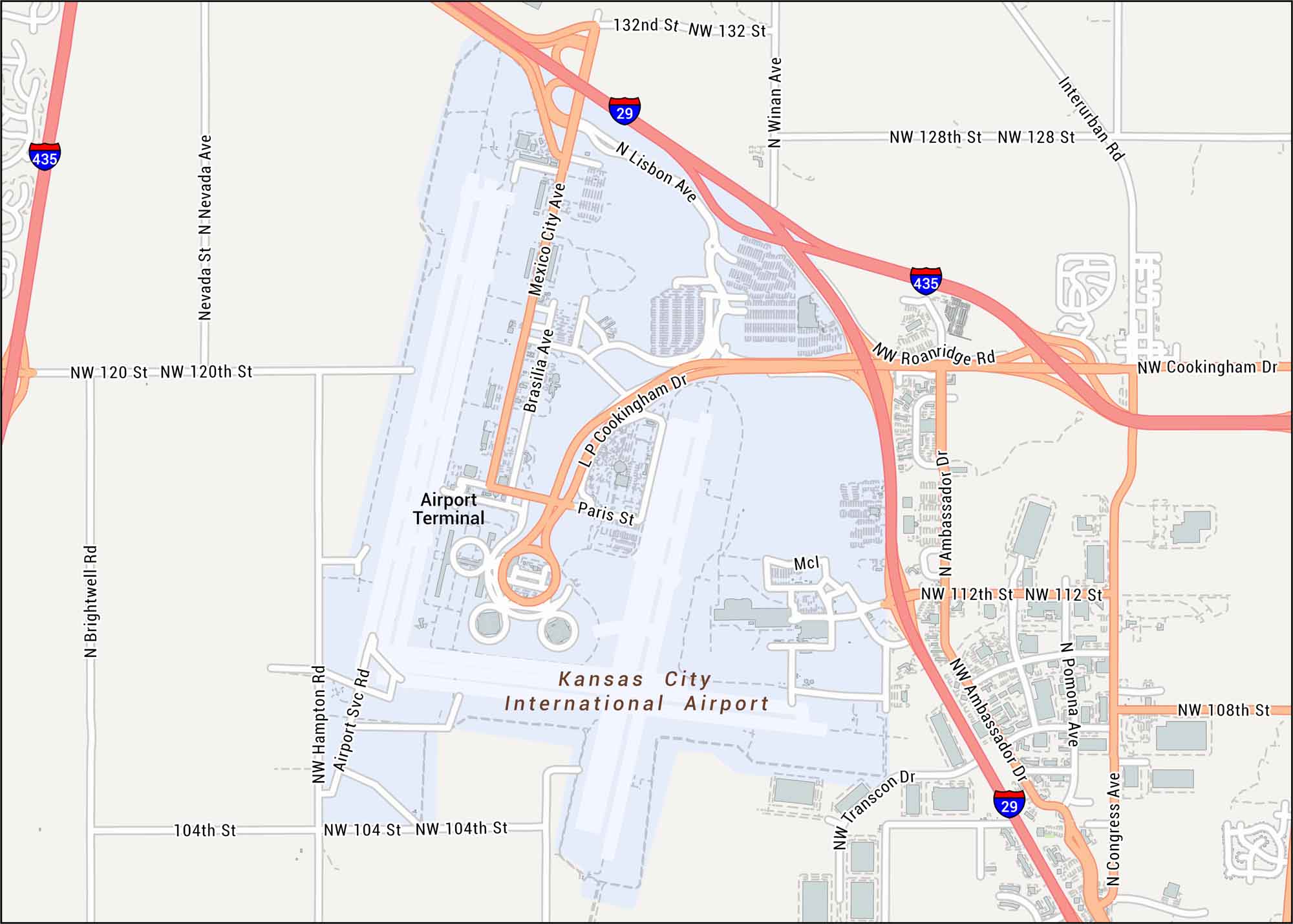
Our map of MCI Airport lays out the terminals, runways, and the big highway loops around them. This airport serves Kansas City with domestic and international flights.
Map Information
On the Map
Interstates/Highways: I-29, I-435 Major Roads: Cookingham Dr, Ambassador Dr, Mexico City Ave, Brasilia Ave, Paris St, Lisbon Ave, Winan Ave, 112th St, 108th St, 128th St, 132nd St, 120th St, 104th St, Brightwell Rd, Hampton Rd, Airport Svc Rd, Nevada Ave, Transcon Dr, Congress Ave, Pomona Ave Other Landmarks: Kansas City International Airport, Airport TerminalTourist Maps in Missouri
Discover all the prime locations with our tourist maps.