JFK Airport Map
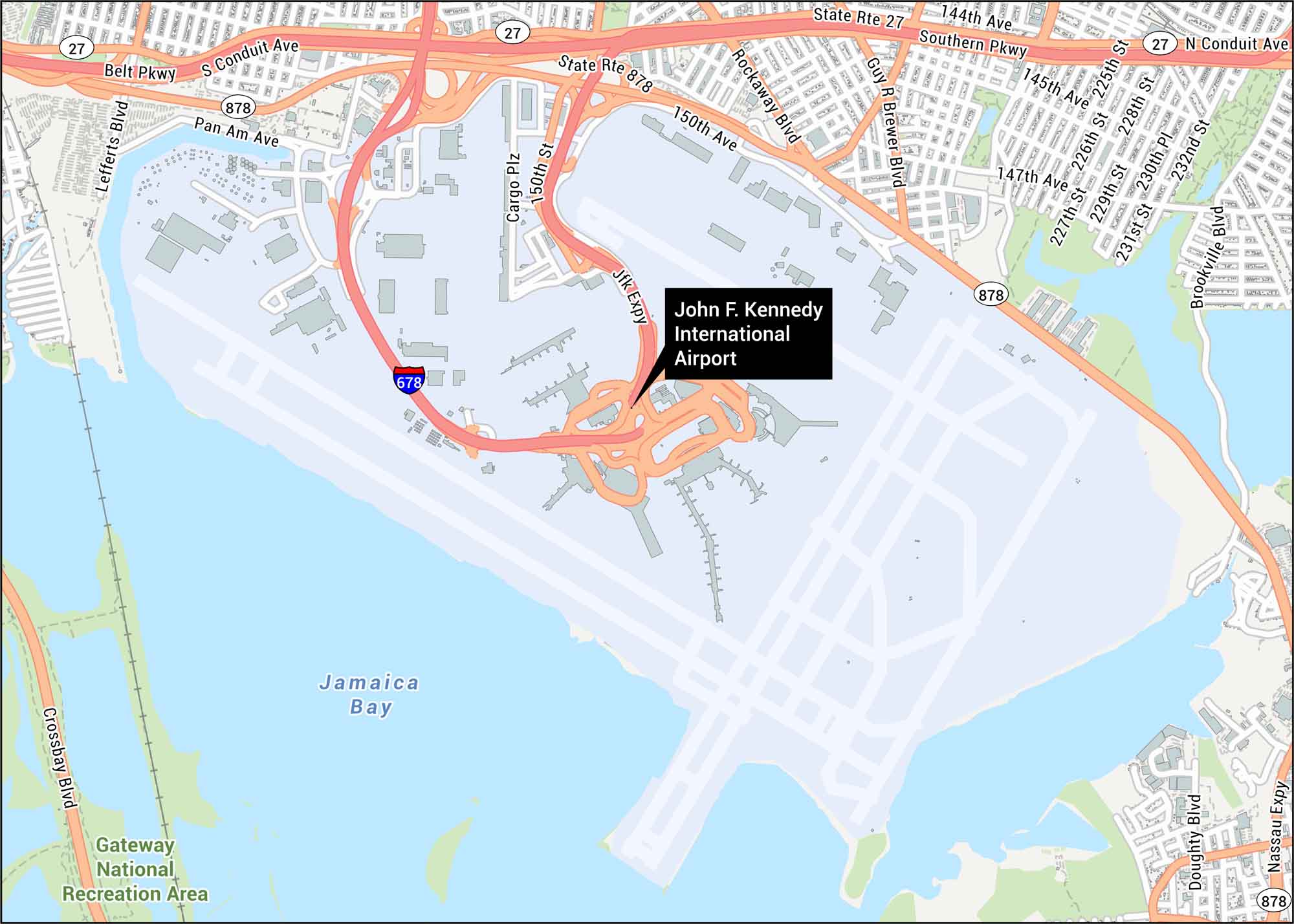
JFK Airport welcomes millions yearly. Located in Queens, New York, it’s a major international hub. Our map shows runways, highways and Jamaica Bay.
Map Information
On the Map
Interstates/Highways: I-678, State Rte 27, State Rte 878, JFK Expy Major Roads: Southern Pkwy, Belt Pkwy, Nassau Expy, S Conduit Ave, N Conduit Ave, Guy R Brewer Blvd, Rockaway Blvd, Lefferts Blvd, Pan Am Ave, Cargo Plz, 150th St, 150th Ave, 144th Ave, 145th Ave, 147th Ave, 225th St, 226th St, 228th St, 230th St Water Bodies: Jamaica Bay Parks/Forests: Gateway National Recreation AreaTourist Maps in New York
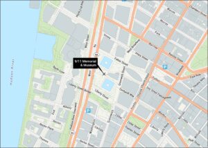
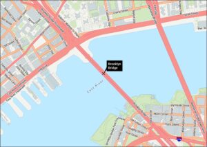
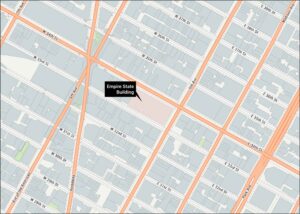
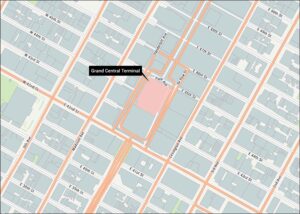
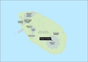
Discover all the prime locations with our tourist maps.