Honolulu International Airport Map
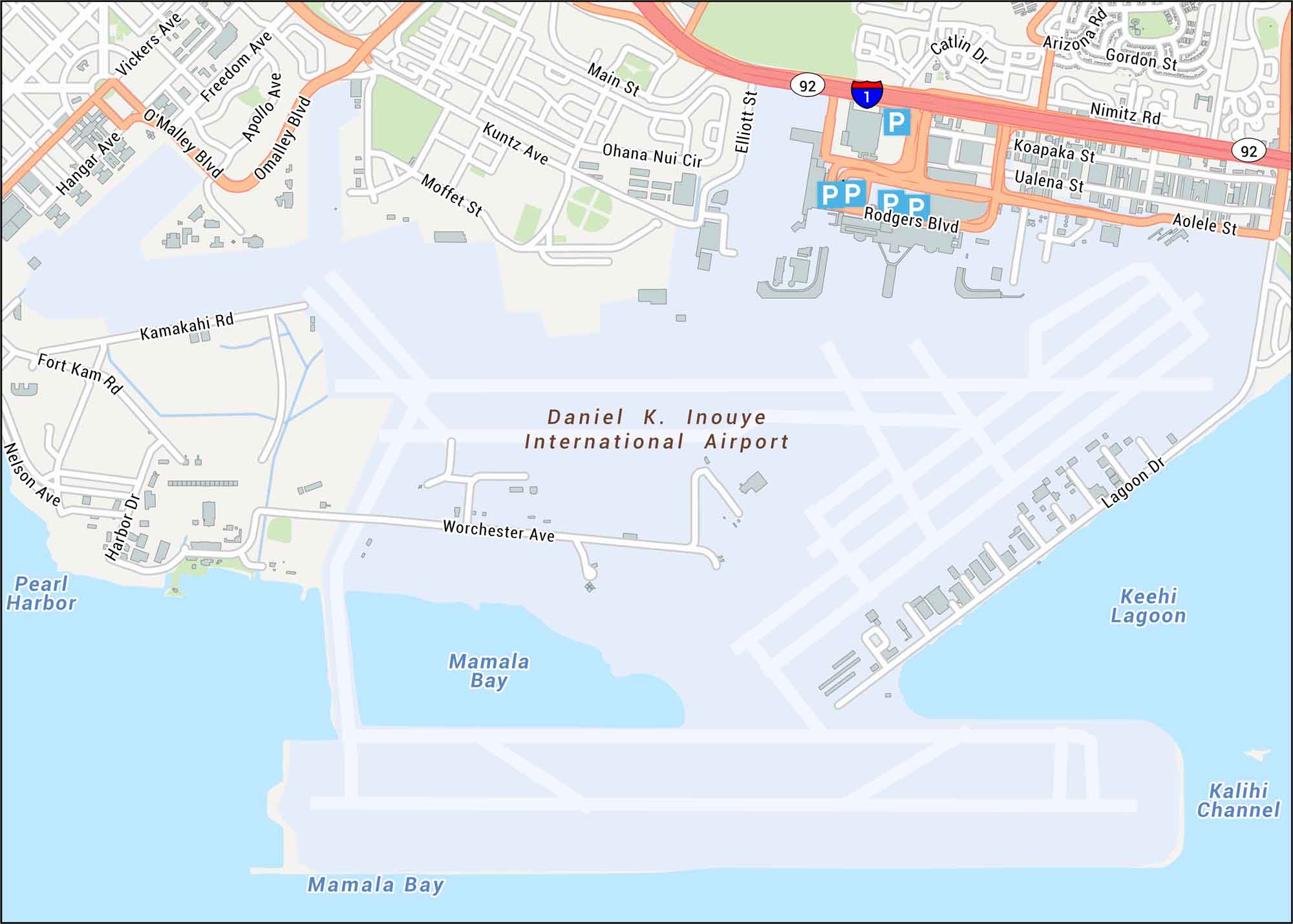
Aloha! Honolulu International Airport sits on Oahu, welcoming travelers to Hawaii’s islands. Our map shows terminals, runways, highways, parking, and streets.
Map Information
On the Map
Interstates/Highways: State Hwy 92
Major Roads: Nimitz Rd, Rodgers Blvd, Aolele St, Koapaka St, Ualena St, Elliott St, Omalley Blvd, Main St, Lagoon Dr, Worchester Ave, Kuntz Ave, Moffet St, Apollo Ave, Freedom Ave, Vickers Ave, Hangar Ave, Kamakahi Rd, Fort Kam Rd, Nelson Ave, Harbor Dr
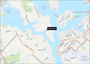
Water Bodies: Mamala Bay, Keehi Lagoon, Kalihi Channel, Pearl Harbor