Detroit Airport Map
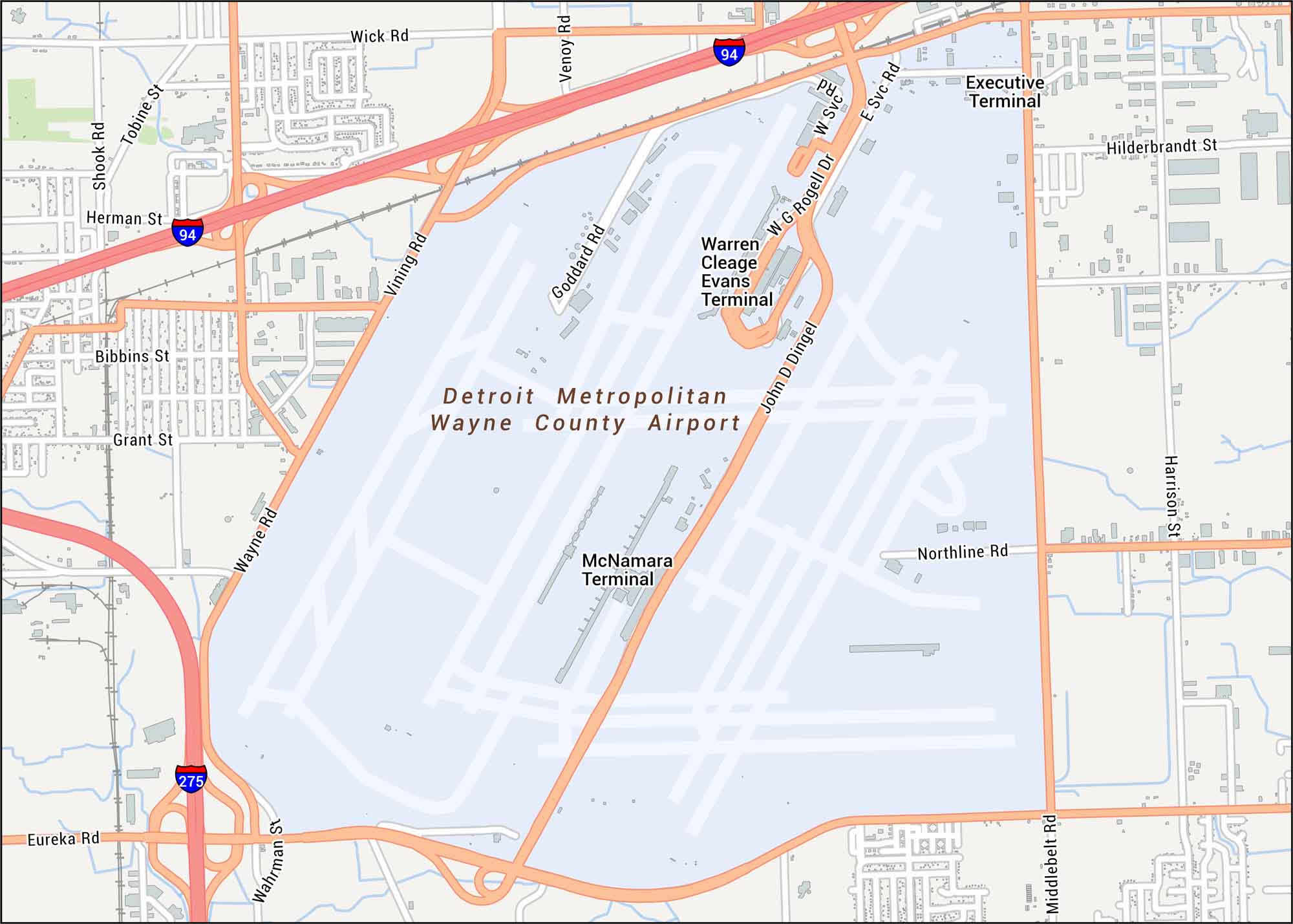
Explore our Detroit Airport map, located in the southwest of Motor City. Our map highlights terminals, runways, highways, and all the nearby streets.
Map Information
On the Map
Interstates/Highways: I-94, I-275 Major Roads: Wayne Rd, Middlebelt Rd, Eureka Rd, Wick Rd, Goddard Rd, Northline Rd, Vining Rd, Venoy Rd, Harrison St, Wahrman St, Shook Rd, Tobine St, Herman St, Bibbins St, Grant St, Hilderbrandt St, W G Rogell Dr, John D Dingell Dr, E Svc Rd, W Svc Rd Other Landmarks: McNamara Terminal, Warren Cleage Evans Terminal, Executive TerminalTourist Maps in Michigan
Discover all the prime locations with our tourist maps.
No posts