Brooklyn Bridge Map
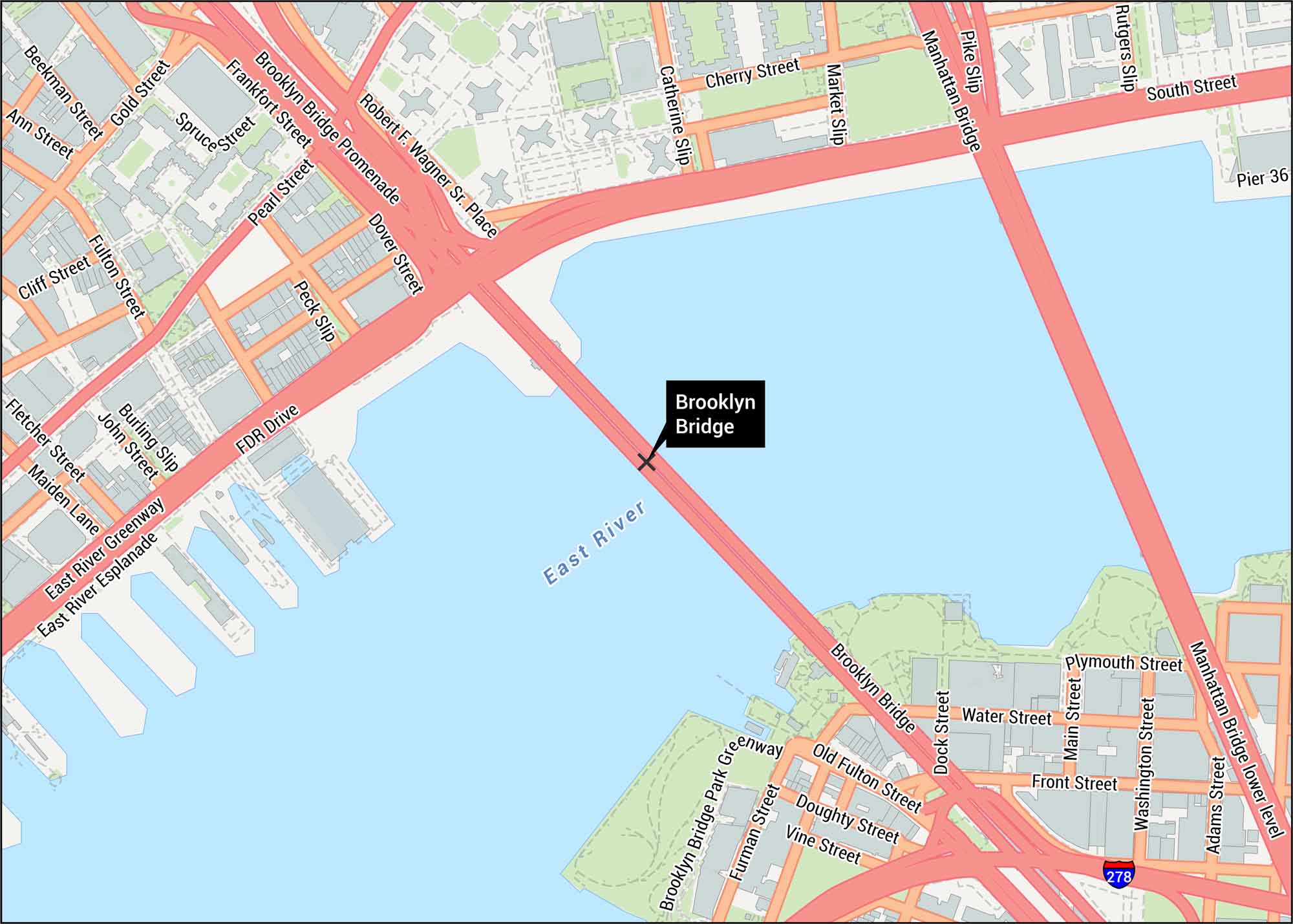
Explore our detailed Brooklyn Bridge map. The bridge itself spans the East River between Manhattan and Brooklyn. Our map shows roads, highways, walkways and piers.
Map Information
On the Map
Interstates/Highways: I-278 Major Roads: Brooklyn Bridge, Manhattan Bridge, FDR Drive, Broadway, South St, Adams St, Washington St, Main St, Water St, Front St, Old Fulton St, Doughty St, Furman St, Vine St, Pearl St, Gold St, Beekman St, Ann St, Fulton St, John St Rivers/Lakes: East River Parks/Forests: Brooklyn Bridge Park Greenway, East River Greenway, East River Esplanade, Robert F. Wagner Sr. Place Other Landmarks: Manhattan Bridge, Pier 36Tourist Maps in New York
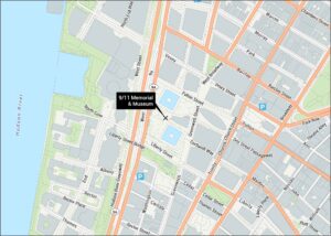
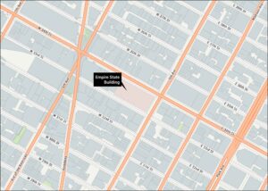
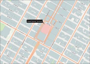
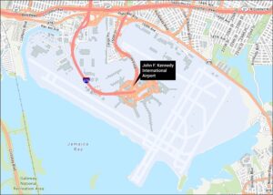
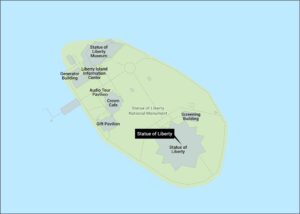
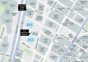
Discover all the prime locations with our tourist maps.