Home » City Maps » Wisconsin Dells Map

Wisconsin Dells Map

Wisconsin Dells Map

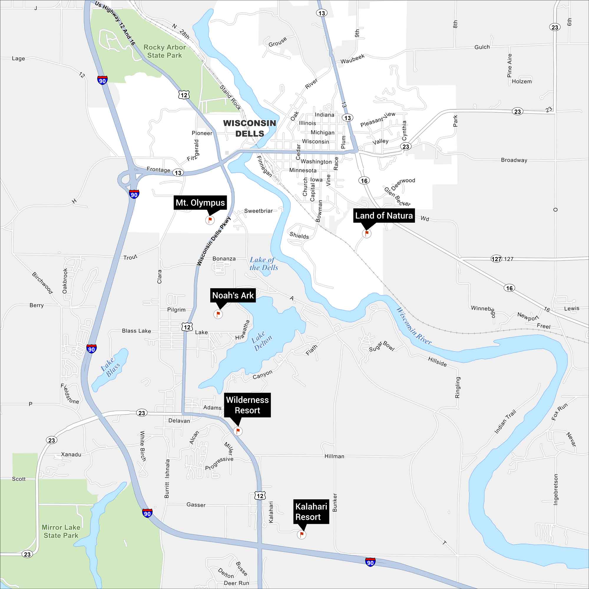
Wisconsin Dells is where the Wisconsin River carves through rock and fun fills every corner. Our map of Wisconsin Dells displays its waterparks, highways and lakes. It’s natural beauty and adventure, side by side.

Map Information

  • Waterparks at Wisconsin Dells
  • Mt Olympus, Noah’s Ark, Wilderness Resort, Land of Natura and Kalahari Resort
  • Free for personal and commercial purpose. Attribution is required. How to attribute?

On the Map

Interstates/Highways: I-90, US Hwy 12 And 16 Major Roads: Broadway, Wisconsin Dells Pkwy, Stand Rock Rd, Frontage Rd, Canyon Rd, Hillside, Winnebago, River Rd, Washington Ave, Minnesota Ave, Iowa Ave, Illinois Ave, Michigan Ave, Oak St, Cedar St, Church St, Capital St, Bowman Rd, Vine St, Race St Rivers/Lakes: Wisconsin River, Lake Delton, Lake of the Dells, Blass Lake, Lake Blass Parks/Forests: Rocky Arbor State Park, Mirror Lake State Park Cities/Towns: Wisconsin Dells Landmarks: Mt. Olympus, Noah’s Ark, Wilderness Resort, Kalahari Resort, Land of Natura

References

Leave a Reply

Your email address will not be published. Required fields are marked *